Landslide Research, News, Events, Research, Featured
Landslide Research, News, Events, Research, Featured
Landslide Research, News, Events, Research, Featured
Landslide Preparedness for All
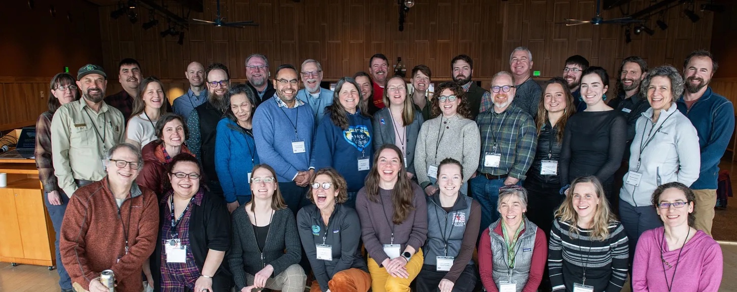
On January 30th, people from near and far joined an unusual Teams meeting. Isabella tuned in from Puerto Rico, Ann called in from Prince of Wales, and Ian attended from Hoonah. Representatives from the Alaska Beacon news organization, multiple universities, local Tribal governments, Tribal corporations, State and Federal agencies, and nonprofit organizations mingled with ordinary people from a variety of communities.
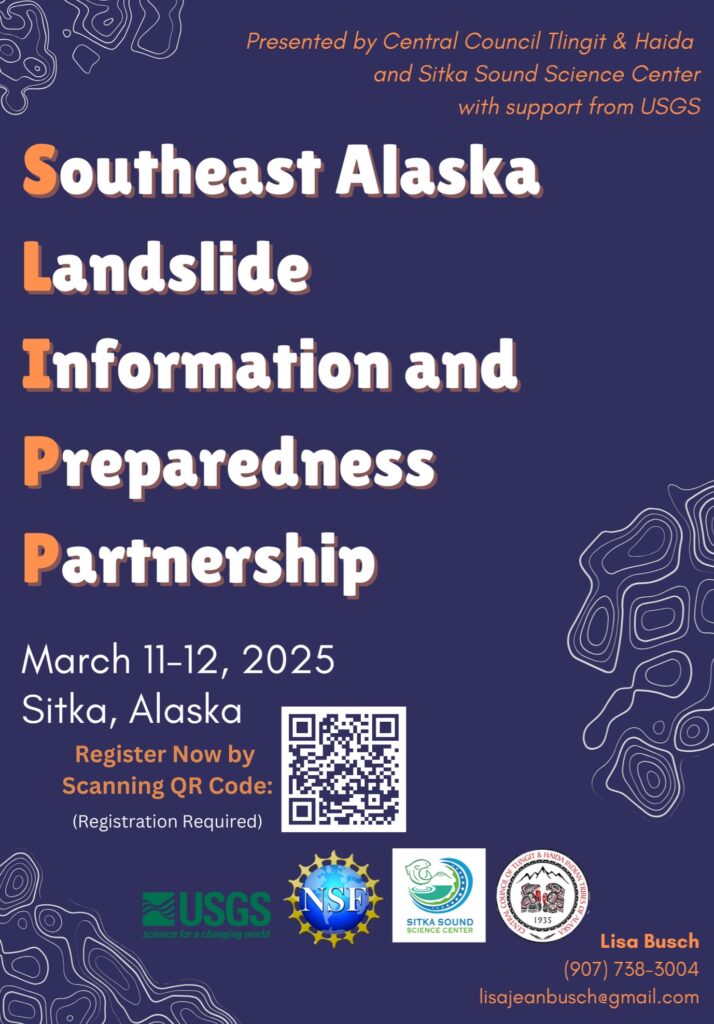
On the last Thursday of every month at 8:00 AM Alaska Time, over fifty people gather online for an hour-long virtual meeting hosted by the Southeast Alaska Landslide Information and Preparedness Partnership (SLIPP). Everyone has the same goal: to share and learn about landslides that affect Southeast Alaskan communities. Every month this meeting bursts with ideas, questions, and fruitful discussions. The meeting is hosted by a different facilitator every month who is chosen based on the content participants have requested.
Last month’s meeting was facilitated by Tess Hostetter, the Tribal Liaison and Engagement Coordinator at the United States Geological Survey (USGS). At the beginning of the meeting, Tess stated that she is focused on identifying
“how USGS can better support community work already happening and where USGS can improve.”
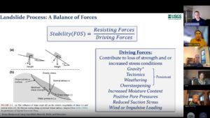
The rest of the meeting focused on the USGS Alaska Landslides Program and Alaska Mapping and Modernization. Tess passed the (virtual) microphone to Dennis Staley, a landslide hazard researcher at USGS based out of the Alaska Volcano Observatory. Dennis shared the mathematics of slope stability through accessible diagrams intended for a general audience. Shortly after, Brian Wright, the Alaska National Map Liaison, explained what LiDAR data is and why it is helpful for landslide research. LiDAR (Light Detection and Ranging) is an important tool in detecting landslides because it produces precise representations of the earth’s surface even if we can not see the variations in these surfaces with our eyes. LiDAR works by shooting out tiny lasers that measure how long it takes for the light beams to return to the LiDAR sensor where the measurement is recorded. Brian shared that the USGS LiDARExplorer Application
“allows folks to visualize data to identify where there have been landslides.”
At the end of the hour, attendees stayed online to ask questions about the presentations and to collect contact information from each other.
Last month’s meeting was Gayle Young’s first landslide information session. Gayle lives in the census-designated community of Hyder, on the border of Southeast Alaska and British Columbia. Hyder has a population of 16 people. In her community, Gayle is taking the lead in learning about landslides to be proactive before a landslide event occurs. When Gayle was interviewed about her experience at the meeting she said she felt “lucky and honored to be in the meeting.” Gayle is new to learning about landslides and mentioned that at the beginning of the meeting, she was feeling overwhelmed by this “whole new world,” but by the end of the meeting, she felt more knowledgeable about the topics “and like there were people that knew a lot and cared” about her and her community.
The Southeast Alaska Landslide Information and Preparedness Partnership (SLIPP) continues to host monthly information-sharing sessions tailored to a broad audience. These meetings are open to everyone – the only requirement is your own interest. We welcome you to join these information sessions and become a part of this community of practice.
To join the monthly information-sharing sessions or to watch previous meeting recordings, visit the group’s Substack
or email us at landslides@sitkascience.org.