Landslide Research, News
Landslide Research, News
Landslide Research, News
New “Tipping Buckets” Citizen Science Project Aims to Monitor Microclimates and Improve Landslide Prediction
Sitka Sound funnels wind and rain into Sitka by the aid of a natural phenomenon called atmospheric rivers (ARs). These “rivers” are narrow bands of saturated air that are steered by prevailing winds and can deliver days’ worth of rain along coasts and across steep terrains. While they may bring large storm events to wide areas, there are likely zones within AR paths that experience stronger conditions than others. For example, we experience a vertical variance in storm conditions by the orographic effect, a natural phenomenon seen in the greater amount of precipitation on ridgetops than lower elevations. A horizontal variance in storm conditions likely exists, too, for reasons not yet well understood. Zones where weather conditions may differ are called microclimates.
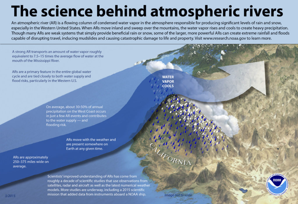
The science behind atmospheric rivers [infographic]. (2015). Retrieved from https://www.noaa.gov/stories/what-are-atmospheric-rivers
Comparisons of data between the Harbor Mountain ridgetop weather station and the airport weather station will give an idea of how rainfall varies with elevation, and three precipitation monitors owned by the National Weather Service on the southern end of the road network provide coarse details on how weather varies horizontally. Data gathered by these sources is valuable, but isn’t quite to the resolution we need for identifying microclimates. A finer detailed map of these microclimates may result in more accurate rain and wind forecasts, in turn informing landslide prediction models. Intense or prolonged rainfall events are the most common triggers of landslides, so models that incorporate both soil moisture and precipitation are the best candidates for predicting landslides in high-sloped regions like Sitka.
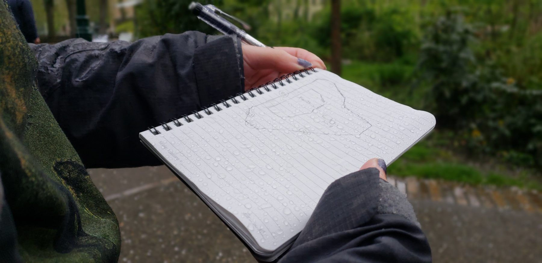
Developing a viable network to collect high density data requires sensors to be scattered throughout town at various elevations. Maintaining and monitoring these sensors is no trivial task, but working together with community members could be the best approach for data collection. Coined the “Tipping Buckets Project,” this research will be conducted collaboratively by citizen scientists, local schools, and SSSC staff.
Citizen Science Approach
The Tipping Buckets Project relies on a citizen science approach. Citizen science is the use of scientific principles and methods by “non-professional” and professional scientists or volunteers, used to explore or understand the world (Eitzel et al., 2017). Other citizen science projects have already tackled many different types of natural hazards, including flooding, earthquakes, drought, storm damage, coastal erosion, pollution, and other environmental impacts. For example, government organizations such as the U.S. Geological Survey (USGS) use citizen science to collect landslide observations via an interactive website. Another example is the National Weather Service (NWS), which has trained hundreds of thousands of spotters to report severe weather conditions (learn more about it here). Using data generated from citizen science projects, volunteers can help keep their communities safe and researchers can improve their understanding of natural hazards.
To date, few citizen science projects focus on landslides specifically. The USGS data is preliminary, and currently does not include data for Alaska. In addition to the benefits of data collected from the project, using a citizen science approach will simultaneously offer added opportunities for Sitka. For example, research suggests that citizen science approaches can be educational for participants, enhance community resilience, and foster greater democratic decision-making about disaster preparedness. Further, citizen science can improve research methods, build trust between different groups (e.g. volunteers and scientists), and improve communication about scientific processes and outcomes.
Contributing to the Tipping Buckets Project
Working together with citizen scientists, the Tipping Buckets Project will contribute to landslide prediction research and foster community engagement. Rain tipping buckets allow us to monitor the amount of rainfall over a period of time. It is built similarly to a see-saw with a bucket on each side that can only hold a certain amount of water. Once one bucket fills up with water, it pulls the see-saw down, taps a switch, and empties the bucket. Next, the opposite side will fill up and do the same. With each tap, a date and time is recorded and used to monitor the amount of rain collected over time. Volunteers will “host” a bucket, helping with occasional maintenance and uploading data to share with the research team. Sensor hosts will have access to generated data, provide input to the research process, and receive training on data collection and analysis. After surveying interest, SSSC may also host an informal event to bring together Sitka Sound Science Center (SSSC) staff, volunteers, and visiting scientists to discuss the project and analyze collected data. Currently, SSSC is asking for expressions of interest to participate as a sensor host. No host location is a bad one! Please contact Cora Siebert, Geoscience Coordinator, at csiebert@sitkascience.org if you’d like to host a sensor. We expect to launch the project in early 2020.