Overview
The Ḵutí project, named after the Tlingit word for weather, is a five-year NSF-funded research initiative aimed at developing tools to mitigate risks associated with precipitation-induced hazards such as landslides and floods in Southeast Alaska. The project involves a multidisciplinary team comprising atmospheric scientists, geoscientists, hydrologists, social scientists, and crucially, community leaders and Tribal environmental staff. The project began in February, 2022 and will end in January, 2027.
Objectives
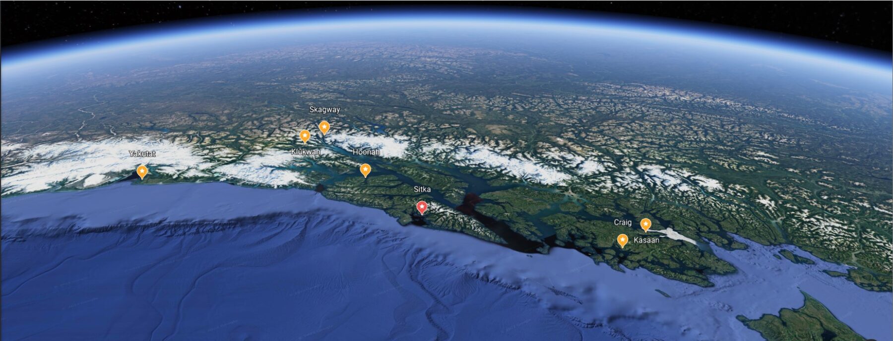
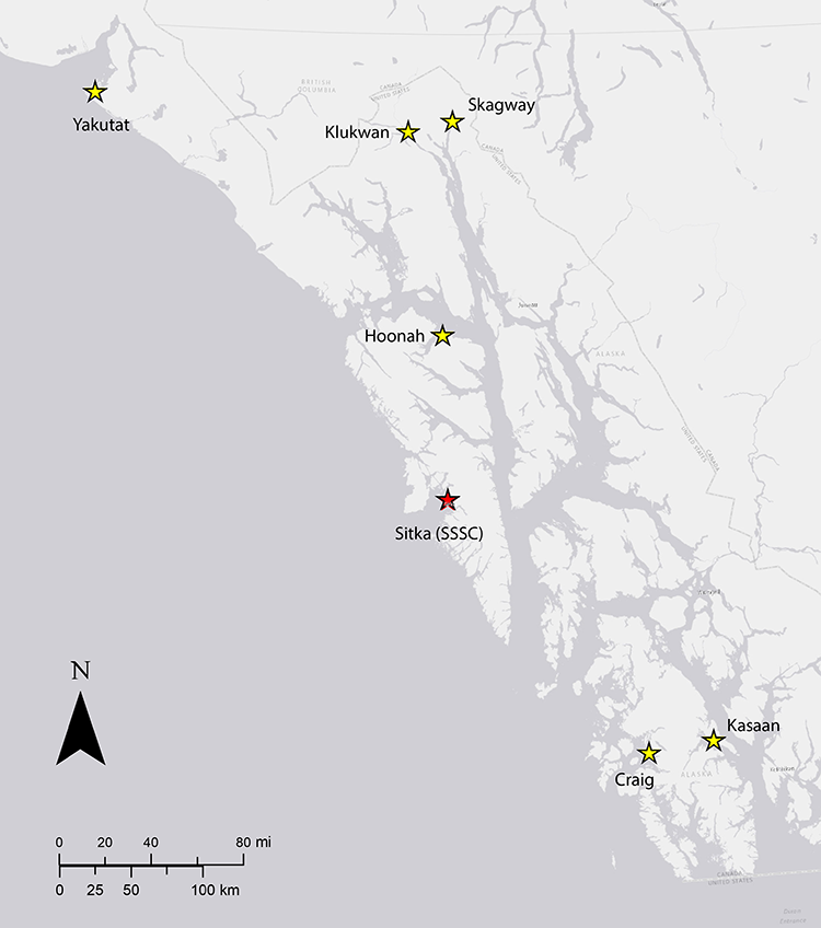
The overarching goal of the Ḵutí Project is to collaboratively work with six communities in Southeast Alaska—Skagway, Hoonah, Klukwan, Yakutat, Craig, and Kasaan—to create tools that reduce the impact of precipitation-induced hazards. By engaging with a diverse range of experts and community representatives, the project aims to enhance resilience and preparedness in the face of weather-related challenges.
Methodologies
Ḵutí builds on the success of a previous NSF-funded project to investigate landslide disaster prevention in Sitka. In that project, the team developed the public-facing web dashboard, sitkalandslide.org. This platform provides real-time estimates of landslide hazard in Sitka, offering situational awareness for the community. The lessons learned from this precursor project inform the development of tailored tools for the six targeted communities in Southeast Alaska. Despite the many important distinctions between the landscapes, history, and social context of each community, common themes include a need to better identify when and where hazards are likely to occur.
This project seeks to find the confluence of community needs with the scientific expertise of our team to provide relevant information and mitigation of impacts from extreme precipitation events. The focus in Sitka and other participating communities has been on landslides, but impacts from extreme precipitation are varied. Part of this project includes regional-scale study of storms and their impacts, which is paired with community-specific investigation. Regional efforts include partnering with the National Weather Service to improve Atmospheric River forecasts and anticipate the magnitude of impacts. Community-specific investigations include developing specific information about the most relevant hazard types (landslides, rockfall, flood, etc.) and disseminating that knowledge to local governments and Tribal environmental staff.
Collaborative Approach
Ḵutí places a strong emphasis on collaboration, bringing together technical experts from various fields and engaging directly with community leaders and local knowledge holders. This approach ensures that the tools developed are not only scientifically sound but also culturally and socially relevant.
Community Partners
The project actively collaborates with six diverse communities, acknowledging the importance of localized solutions. By working closely with Skagway, Hoonah, Klukwan, Yakutat, Craig, and Kasaan, Ḵutí seeks to tailor its tools to the specific environmental and cultural contexts of each community.

Outcomes
The outcomes of the Ḵutí project include the development of both regional and community-specific tools to assess and mitigate precipitation-induced hazards. These tools aim to empower communities with timely information for decision-making and enhance overall resilience to weather-related challenges.
Legacy
Ḵutí aspires to leave a lasting legacy by contributing to the long-term safety and well-being of Southeast Alaska communities. The project’s collaborative model and community-centered approach aim to set a precedent for future research endeavors in hazard mitigation. In summary, Ḵutí represents a concerted effort to blend scientific expertise with community engagement, working towards innovative solutions that address the unique challenges posed by precipitation-induced hazards in Southeast Alaska.
Community Learning Opportunities
Ḵutí Geohazards Project Website
Southeast Alaska Landslide Information and Preparedness Monthly Hangout
The Southeast Alaska Landslide Information and Preparedness Partnership brings communities and governments together to reduce the risk of landslides to the people and resources of Southeast Alaska through coordinated research, mitigation, communication, outreach, and response. This group meets on the last Thursday of every month (unless otherwise noted) from 8-9am AKST and is an opportunity to learn from ongoing efforts, forge new partnerships, and build coordination across the region.
More information on our Substack
Quick Links:
- kutiproject.org
- Southeast Alaska Landslide Information and Preparedness Partnership Substack
- Alaska Landslide Research Resources Database
- Southeast Alaska Environmental Monitoring Locations Web Application
- Sitka Landslide Hazard Dashboard
