News, Research
News, Research
News, Research
The CHUM Project- Diving Deeper into Fish Creek
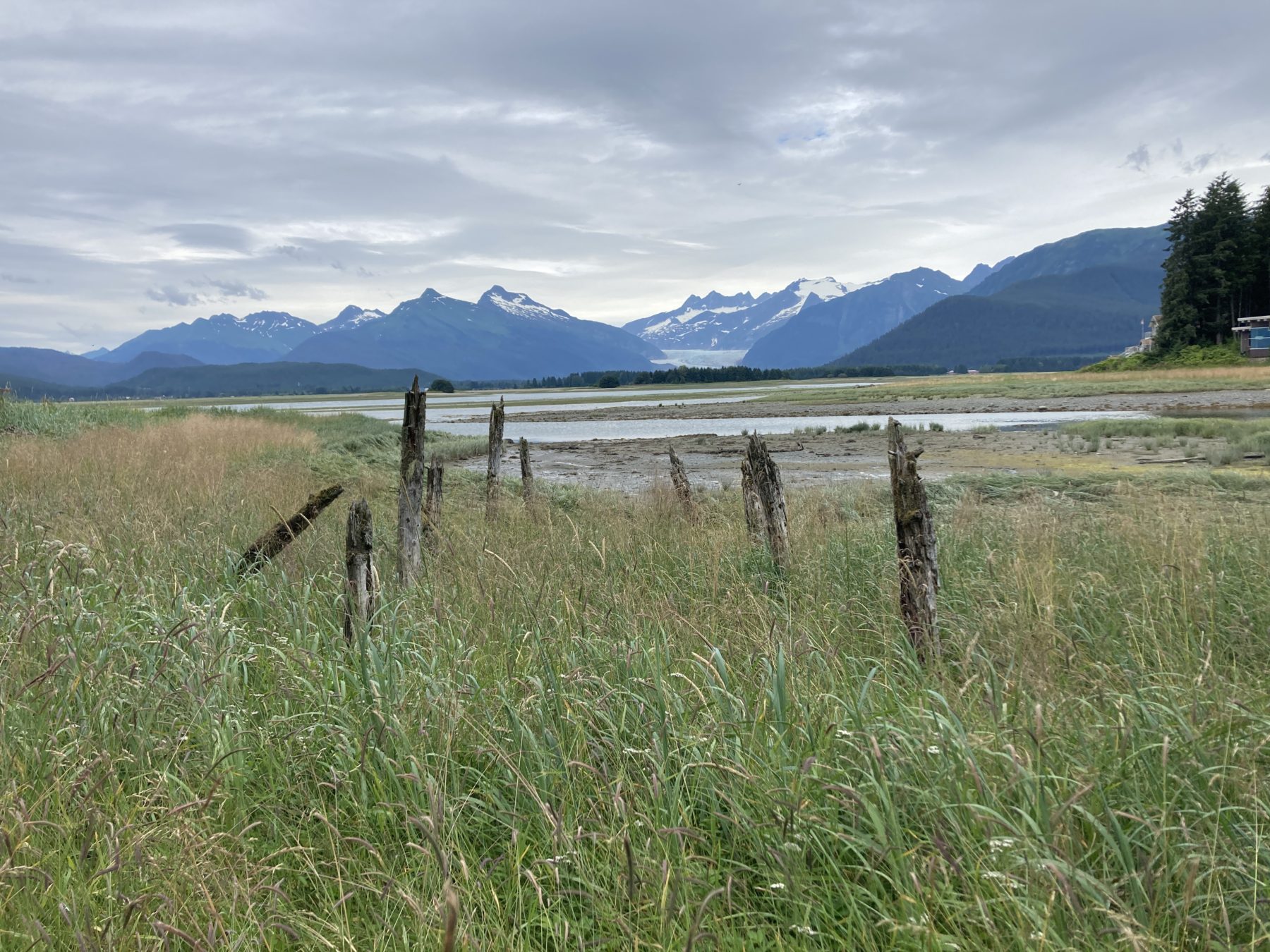
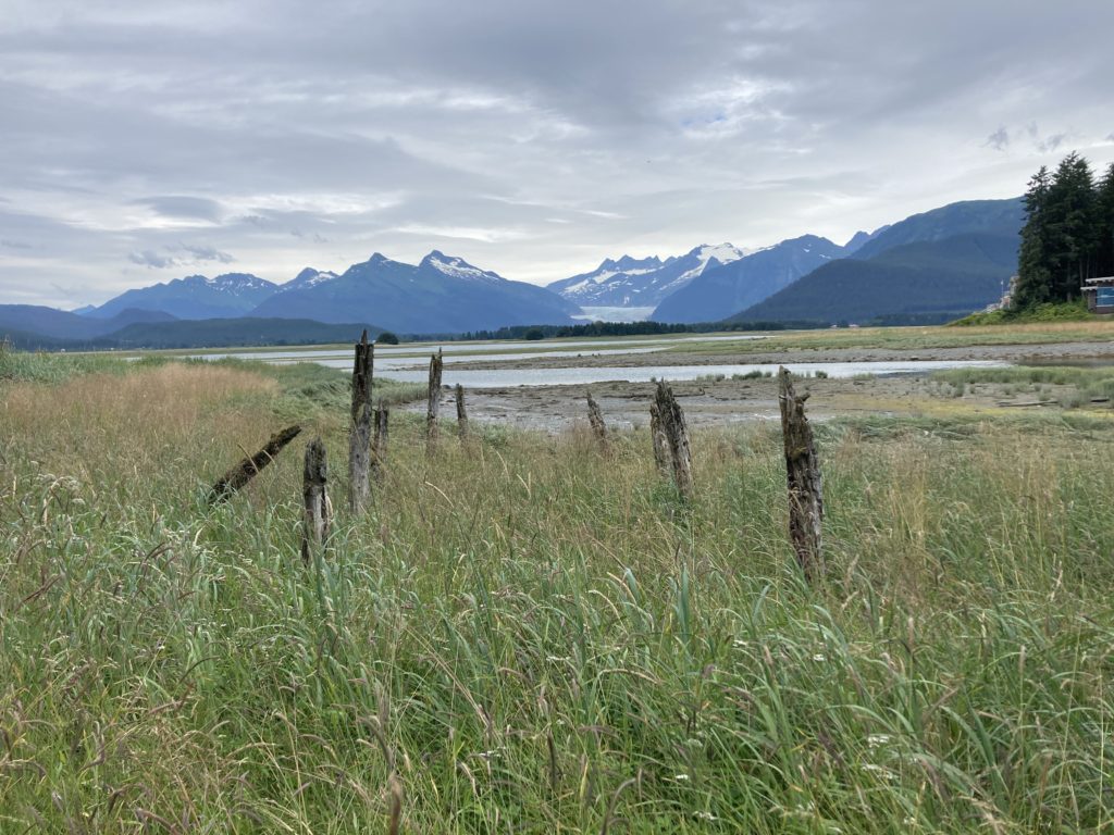
The CHUM project crew has the privilege to survey for chum salmon in three stunning locations throughout SE Alaska. Fish Creek is one such location. Located 7 miles northwest of Juneau on north Douglas Island, Fish Creek originates from Cropley Lake and empties into Fritz Cove after flowing for 6 miles. Fish Creek consists of sweeping intertidal vistas with stunning views of the Mendenhall glacier, long intertwining braids packed with log jams, and deep plunge pools filled with chum and pink salmon. A birders paradise, the area attracts shorebirds, waterfowl, and birds of prey, along with well-known wildlife species such as black bear, river otter, and porcupine.
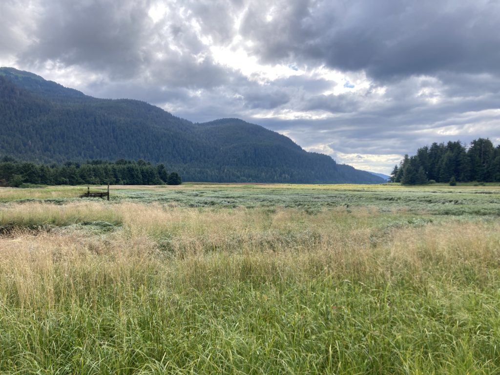
Expansive salt marshes 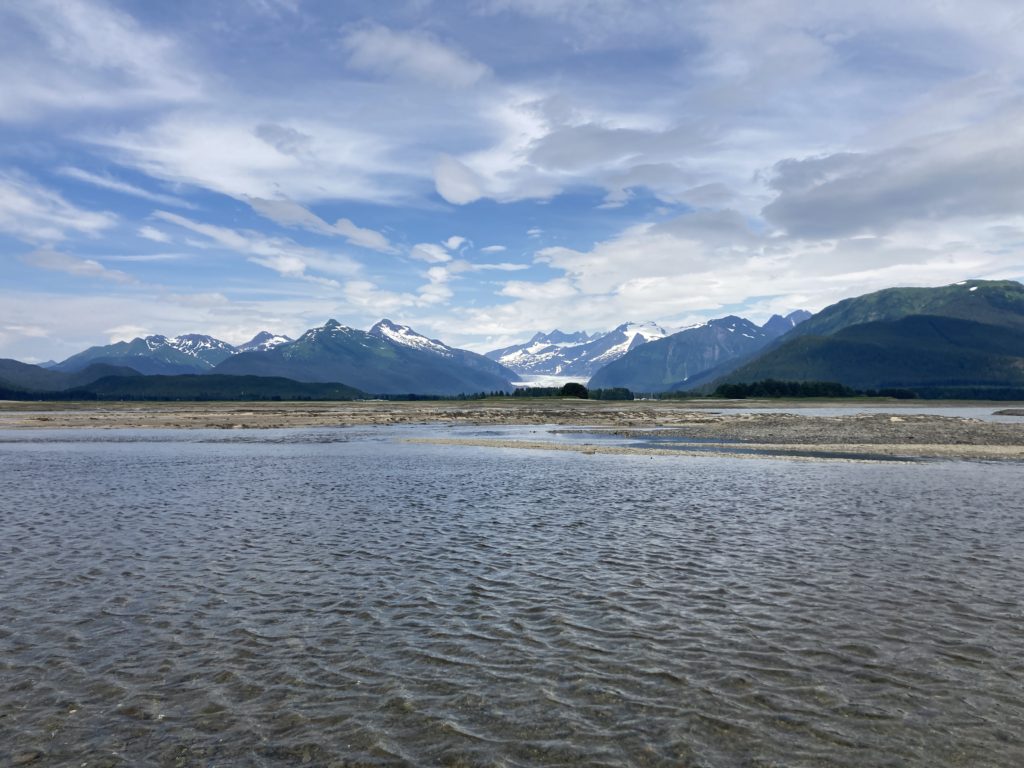
View of the Mendenhall glacier from the intertidal zone
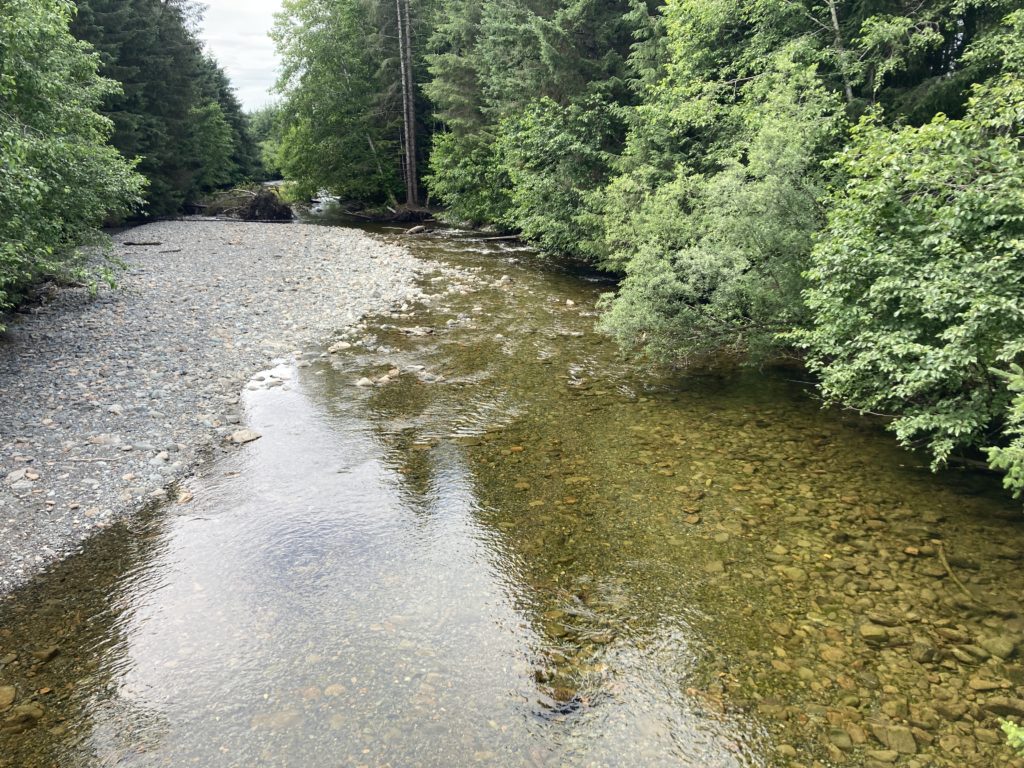
Fish Creek hosts a fascinating history. The name Fish Creek first appeared in mining records in 1885, with water from the creek being used by the well-known Treadwell gold mine. The northernmost end of the Treadwell Ditch, water was diverted a whopping 16 miles to Treadwell mine.
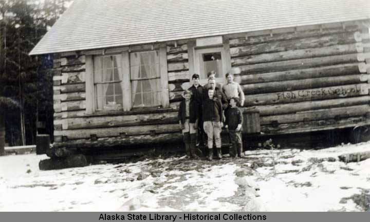
Fish Creek was also the site of a historical European settlement at the mouth of the creek. Homestead claims, and later a settlement called Fish Creek, began in 1880. The settlement also hosted a log cabin schoolhouse, built in 1936. The settlement has long since been abandoned, but if one looks closely, you can still see traces of the unique mining community. The Tlingit, specifically the Auk, occupied the land that is now termed Fish Creek. The region was the site of the Auk Kwáan village and nearby fort, hosting principal fishing and gathering camps.
Keep an eye out next week as we explore the other two locations of the CHUM project surveys, Sawmill Creek and Prospect Creek.
All information was sourced from USGS GNIS Feature Detail Report: Fish Creek (historical) and Discovery Southeast Fish Creek Trailhead Panels.
