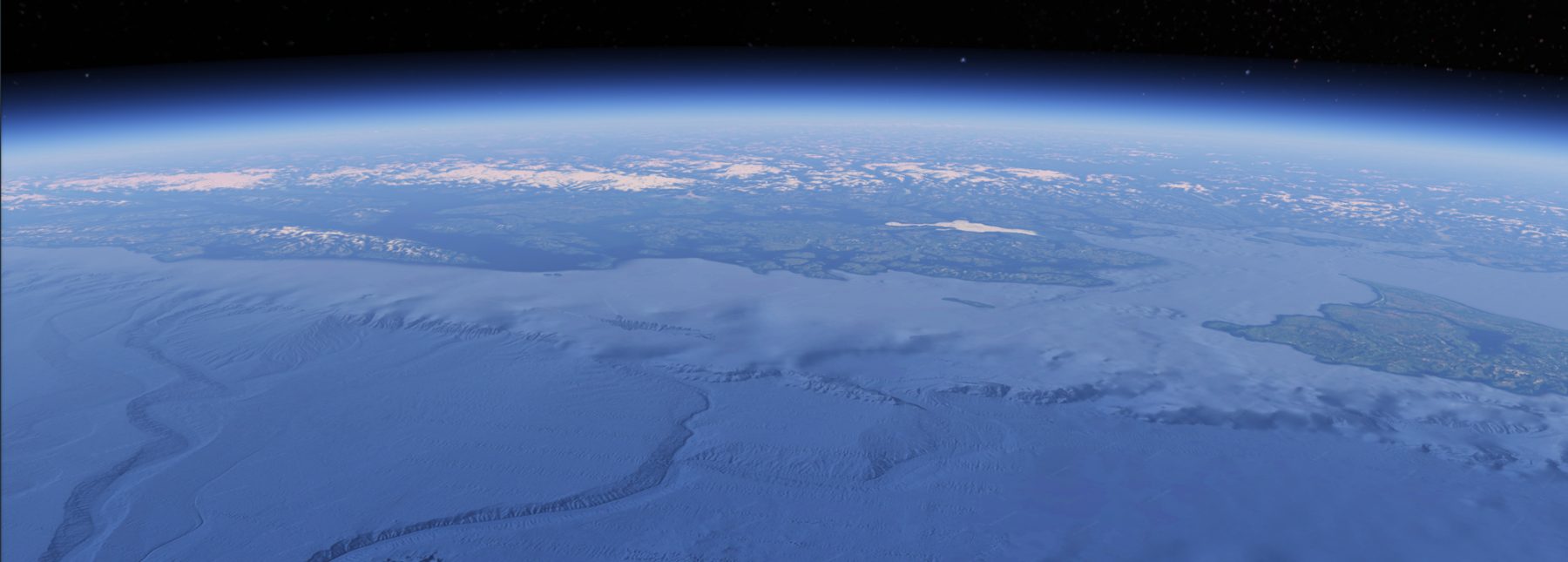
The Sitka Sound Science Center is part of an international team of scientists probing the depths of the northeast Pacific offshore of Alaska and British Columbia, Canada, to better understand hazards associated with the Queen Charlotte Fault. Creating a 700 mile boundary between the Pacific and North American tectonic plates, the fault has been described as the “San Andreas of the north” based on its characteristic horizontal motion (i.e., strike-slip faulting) and its frequent earthquakes. In fact, the Queen Charlotte Fault ruptured twice in recent years, raising concern over its potential to damage coastal and seabed infrastructure through southeastern Alaska and western British Columbia. The first was a magnitude 7.8 earthquake in 2012 offshore of Haida Gwaii, Canada, that initiated a tsunami that was detectable not only locally, but as far away as U.S. military installations in Hawaii. The second quake, just 200 miles to the north, generated a magnitude 7.5 event offshore of Craig, Alaska, rupturing a 70-mile long stretch of the fault.
The fault has been difficult to study because it is located almost entirely offshore in water depths of greater than 500 feet. Because earthquakes carry on right through international political boundaries, collecting offshore geological data and developing accurate hazard assessments for the U.S. and Canada required an international partnership. In 2017, the U.S. Geological Survey, Geological Survey of Canada (Natural Resources Canada), Sitka Sound Science Center, and the University of Calgary joined forces to examine the entire length of this poorly understood fault.
Offering logistical and field support isn’t the Science Center’s only role, we also work hard to bring this work to our middle and high school classes through developing age appropriate lessons and hosting evening presentations geared towards lifelong learners.